Description
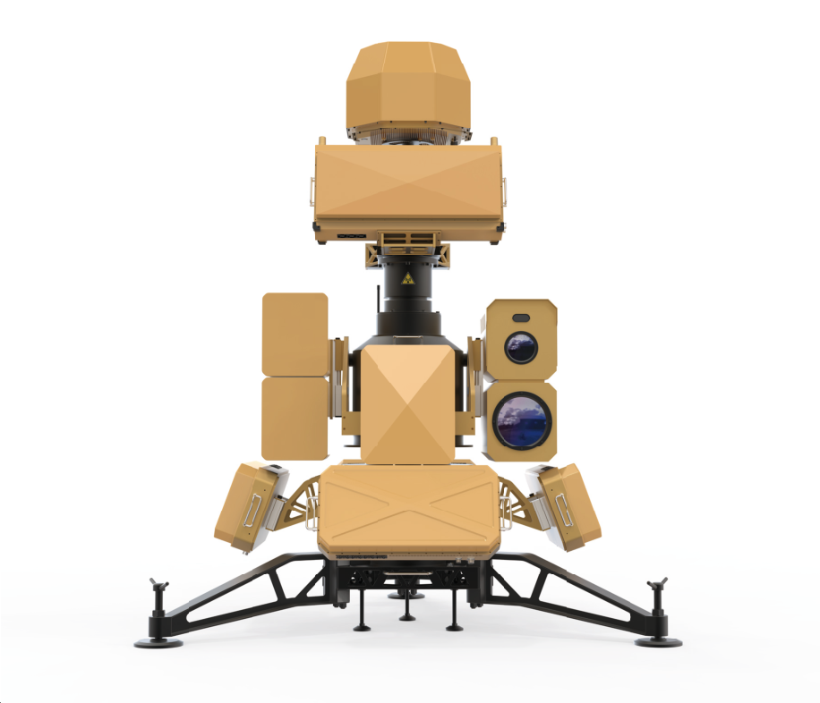
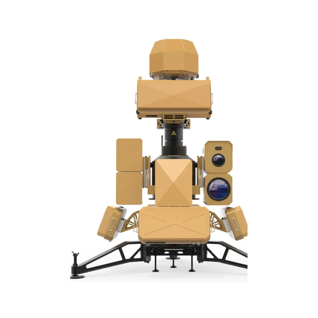
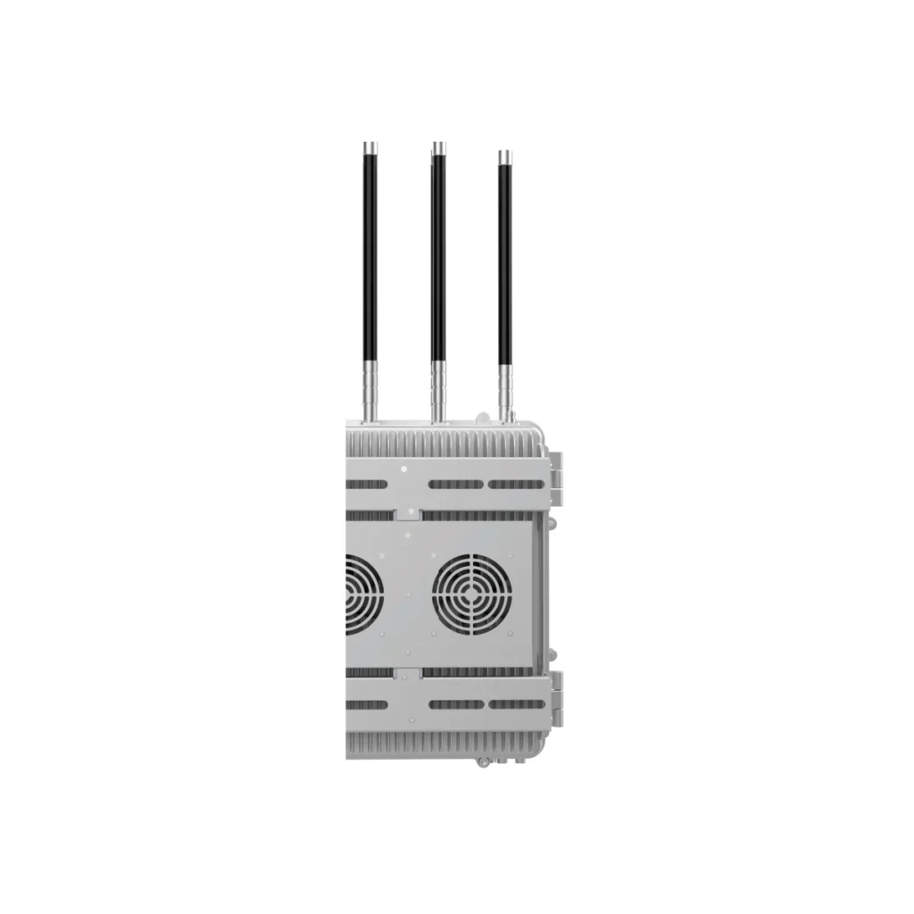
The URS680 is an all-in-one counter-UAS defense system integrating spectrum detection, radar tracking, electro-optical identification, full-band jamming and navigation spoofing. It detects and jams drone threats at 5 km with enhanced precision defeat of FPV drones. Designed for high-value fixed facilities.
The URS680 is a comprehensive defense system developed for the low-altitude security of high-value or important facilities. It integrates radio spectrum detection, radar tracking, electro-optical identification, full-band jamming, navigation spoofing, and enhanced precision detection and countermeasure against FPV drones into a unified system. Key capabilities include full-band detection, full-band jamming and strike, radar tracking, EO identification and tracking, navigation spoofing, and precision strike against drone swarms and FPV drones. The highly integrated design enables rapid deployment, active-passive collaboration enables precise detection, full-band coverage with intelligent countermeasures, and multi-source fusion is powered by advanced algorithms. Detection and jamming range is 5 km with electro-optical tracking at 3 km (visible light) and 1.5 km (infrared). Radio direction-finding accuracy is ≤3° RMS in open areas, and radar detection accuracy is azimuth ≤0.4°, elevation ≤0.5°, range 10 m. Suitable for energy facilities, regulatory centers, nuclear power plants and similar sites.
Key specifications: Detection & Jamming Range: 5 km; Electro-Optical Tracking Range: Visible light 3 km / infrared 1.5 km; Detection Frequency Band: 300 MHz – 6 GHz; Jamming Frequency Band: 300 MHz – 6 GHz; Navigation Spoofing: GPS/L1, BDS/B1, GLONASS/R1, GALILEO/E1; Radio Direction-Finding Accuracy: ≤ 3° (RMS, open areas with favorable electromagnetic conditions).
Specifications
| Parameter | Value | Unit |
|---|---|---|
| Detection & Jamming Range | 5 km | |
| Electro-Optical Tracking Range | Visible light 3 km / infrared 1.5 km | |
| Detection Frequency Band | 300 MHz – 6 GHz | |
| Jamming Frequency Band | 300 MHz – 6 GHz | |
| Navigation Spoofing | GPS/L1, BDS/B1, GLONASS/R1, GALILEO/E1 | |
| Radio Direction-Finding Accuracy | ≤ 3° (RMS, open areas with favorable electromagnetic conditions) | |
| Radar Detection Accuracy | Azimuth ≤ 0.4°, elevation ≤ 0.5°, range 10 m | |
| Azimuth Coverage | 360° | |
| Weight | ≤ 600 kg | |
| Dimensions | 2,500 × 2,500 × 2,650 mm |
All specifications are taken from the manufacturer’s current datasheet.
Reviews
There are no reviews yet.